Thursday, July 22, 2010

St. Ignace, St. Mary's River, Sault Ste. Marie

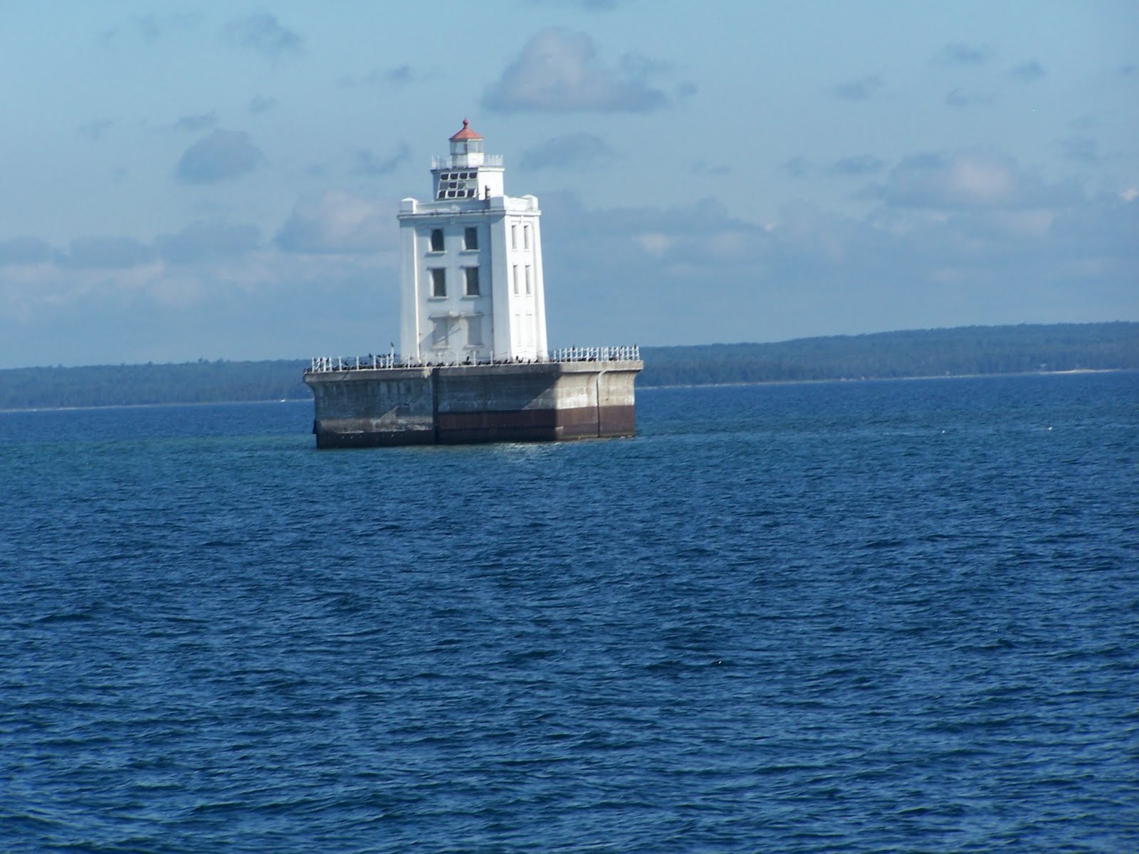
Leaving St. Ignace, we passed on the north side of Mackinac Island. You can see the Bridge in the background. This lighthouse marked shoal near the LeCheneaux Islands. While I knit, Bob was really getting into the routine and is able to multi-task---here he is enjoying a book while watching Otto.


We intended to stop at DeTour, but because we were there early, and the weather was good, we decided to head up the St. Mary's River and stay in Sault Ste. Marie for a night or two. Here we pass the DeTour lighthouse.


As we start up the St. Mary's River, we meet this laker.


And still another one.........


Here we pass DeTour village and marina.
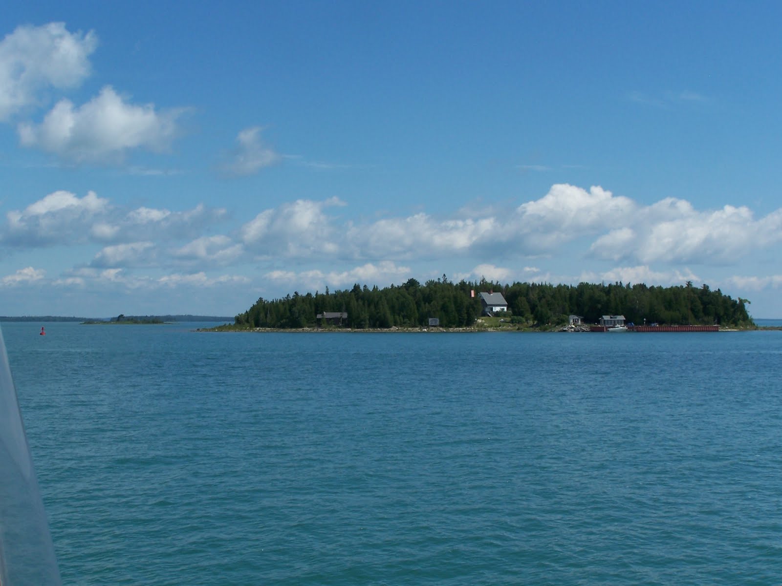


There are many islands along the way...all pretty.


This is Lime Island (Canada side of the river). It is now a campground but during WWll it served as some kind of battle supply place


Further up the river, we saw these two tall ships. They are heading for Duluth. There's supposed to be a total of 6 making the trip.


Here we are passing the Pride of Baltimore. We learned later that the crew on these ships is all high school students who are given the opportunity to get out of their environment (often from a bad one) for 3 months in the summer to share other experiences.


Here we are approaching the Bounty.


Note the kids up on the yardarm working on the sails !


This was an interesting church on the Canadian side with the steps going down to the water..........


As we get nearer to the Soo, there was still another tall ship......


And still anothe one--this one was called the Europa


Finally, here was the last one we saw just before we went in to the marina.


There is also a boat which offers tours of Lake Superior shown docked on the Canadian side of the Soo.


All in all, it was a nice day. We saw more boats on the water today than we did in the past five days ! But it was good to get to land as it was getting pretty windy the last few miles of the river.
After dinner, we decided to walk to the park to see the musice we were hearing. It sounded like it was right next door...not so, it was about 10 blocks away through a construction zone. But it was worth the walk. The music in the park that evening featured "The Saline Fiddlers", a group of about 25 high school students near Ann Arbor, MI. They played blues, county, celtic, etc. They were excellent. Apparantly this kind of music program was offered in the public schools to increase interest. From all appearances, it looks pretty successful. If you'd like to know more, check out their website at www.salinefiddlers.com.
Plan is to stay here a couple of days, do laundr, etc and hope the weather will be nice to cross Whitefish Bay.


Tuesday, July 20, 2010

We left Manistique at 6 am heading for Mackinaw City, about 75 miles. Again the lake was calm and Otto worked well. We had the lake practically all to ourselves....for the first 6 hours, we saw 1 fishing boat and this "salty". We passed this lighthouse on Bue Choix point and, nearing the Straits, the White Shoal lighthouse.


Nearing the Straits we could see the Mackinac Bridge from 14 miles away.


Instead of Mackinaw City, we decided to go in to St. Ignace. I would've liked to stay at Mackinac Island, but their docks were closed to the public because of some sailboat races. We arrived at 3 pm. and will settle for a walk later as it's pretty warm here ! Not sure what tomorrow will be--we'll have to wait and see what the weather brings.


Monday, July 19, 2010

We left Fayette at 6:30 am for Manistique, MI. about 55 miles. It was foggy, but predicted to lift by 8 am. It lifted in the harbor early except not on the lake, but the radar worked well.
But with the fog, there was virtually no wind so we had a smooth ride again !
Rounding the point on Poverty Island, we could see this abandoned light house.
At the entrance to the Manistique Harbor is this lighthouse, built of steel in 1910.

Manistique is largely a fishing town with logging operations nearby. There isn't much here, and even though we're docked in the town marina, there is no TV reception and few radio channels. The harbor master wasn't here when we arrived, but a couple of locals told us which slip was empty and helped us dock. Before the Mackinac bridge was built there was ferry service from here to Frankfort in lower Michigan.
There is a nice boardwalk along the lake which we took to the grocery store. We were told it was about a 1/2 mile---turned out it was 1 1/2 miles but manageable. Noticed the seagull perched on the bow of this old fishing boat on the way.


Tomorrow- Tuesday-we'll leave early again for our trip through the Straits of Mackinac to Mackinaw City on Lake Huron. This is about 75 miles, weather permitting. Should we need to, we'll go into Beaver Island.
Leaving Menominee, we had a nice ride up the northern part of Green Bay to Escanaba, MI. It was cool on the water, but very warm in town--upper 80's. This town has a very nice waterfront too with parks on both sides of the water. There is a little lighthouse behind the marina office, but we arrived too late to tour it. So, we decided to take the lakewalk to a little wagon that sold Gram's pasties. But on the way we talked to a couple of locals and each praised the benefits of living in this small town...safe for children especially. One preferred Gram's pasties, the other preferred Dobber's pasties. So, we decided to check them out...we bought one of Gram's pasties...a pizza one. Not one we would buy again. Then we took a taxi to Dobber's and bought 2 frozen ones there which are still in the freezer, so we don't have a verdict on those yet. While we were in Dobber's, we noticed the Trenary toast which both of remember our parents and grandparents having with their coffee, so of course we had to buy a bag of that ! It is good with coffee !


We left Escanaba early Sunday morning to go to Fayette. We would cross Little Bay de Noc and Big Bay de Noc in northern Lake Michigan. Again, despite the intermittent rain, the ride was a nice one (a nice ride is one that's not too bumpy), but we stayed dry in the bridge.
Rounding the buoy, we entered the channel to the Snail Shell Harbor which is a part of Fayette Historic Park. The company town was founded in 1867 to produce iron ore. The company owned the store and employed the doctor, vet, etc. Those charges were deducted from the workers' wages. When the smelting production stopped in 1891, the town was abandoned. The state DNR began a preservation of the remaining 22 shells of the buildings, with restoration of some. Entering, you can see the remains of the blast furnaces and the limestone bluffs surrounding the harbor.


We took the walking tour of the town...all of the buildings are open with informational displays in each explaining the construction, lifestyle, etc of the time. These first houses were homes to employees of the plant, the white house was the home to the superintendent and the doctor's home was still in the renovation stage. Note the stairs, which would suggest if the patient was seen at the doctor's home he had to be able enough to manage those !


The setting was beautiful with views of the lake on three sides of the town and trails through the woods. The following three pictures are of some more of the town buildings--music hall, company store--and the view of the harbor from the town site.


At the top of the hill was a visitor center with a large display of how the town looked when it was at its prime.
This was a very pleasant stop and we enjoyed visiting with the other boat people who were docked along side.


Saturday, July 17, 2010

Menominee sights

When it was cooler, we decided to check out the marina facilities and the sights around town. First we headed to the boaters' lounge which was renovated from the old Water Works building.

Without a doubt, this is one of the best lounges we've seen if not the best in our entire loop trip. Not only was it immaculate, it was decorated beautifully. Just inside the door was this old floor scale which Bob checked out....I was afraid to!


Next we checked out the private toilet/shower rooms. There were 5, each named after a Great Lake, and decorated differently.

This was the entrance to the main lounge.........


and the eating area with a beautiful stained glass lighthouse. We enjoyed a complimentary breakfast of waffles before we left here.


This model ship was made and donated by a local artisan.


Here is the other part of the lounge with the TV. There was a computer station and library as well.


Another part of the sitting area with a large aquarium.
The lamps were all in a nautical theme and there was a lot of art work, knot boards, etc on the walls.


Entrance view as we left the room....there was another larger room adjacent which had a large TV and several tables which appeared to be used as a meeting room.
Last, we took a walk around town which had many lovely old buildings. But as many small towns today, there were many empty storefronts.


We ended our walk at the sandwich/ice cream shop where all the locals seemed to come as well as many of the boaters.
It was well worth the visit to this town.

Friday, July 16, 2010

BACK TO BELLISSIMO


After a two year hiatus, we are back on BELLISSIMO. While bringing all the stuff on board to cruise is quite a job, we have to admit, it feels good to be back on the boat. Getting re-aquainted with the boat takes some time, but after a few weeks, it probably will feel like we never left it. The plan is to cruise up Green Bay into northern Lake Michigan and visit the places we skipped.

Our first leg is to Menominee, MI. Here we are leaving Skipper Bud's.

On this first day out, we had to get used to the trawler "roll" all over again. With the winds from the SW, we bounced our way until we got in the lee of the other shore. The weather is warm--in the upper 80's so we took a nap when we arrived. We'll walk up town to the historic district when it cools. Here is a picture of the approach to this area.............


So far, everything seems to be working well. But, it took me most of the 2 1/2 hour trip over to figure out how to do waypoints again. But, think I have it now !